|
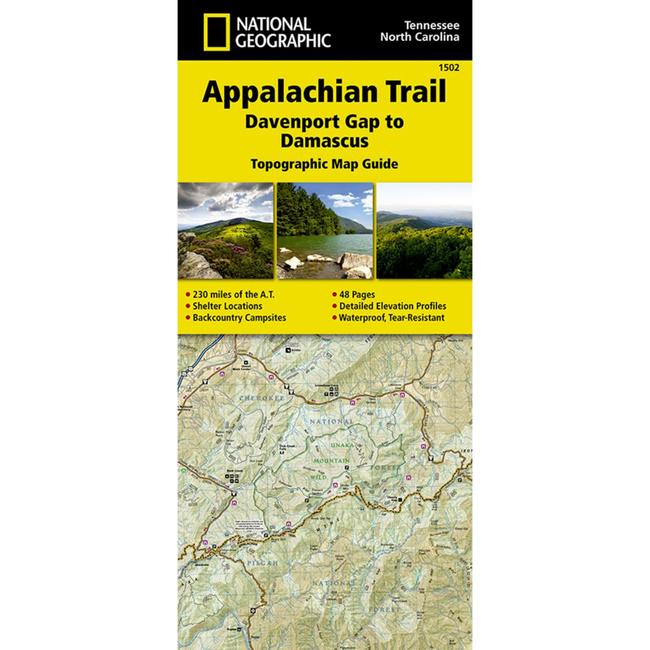
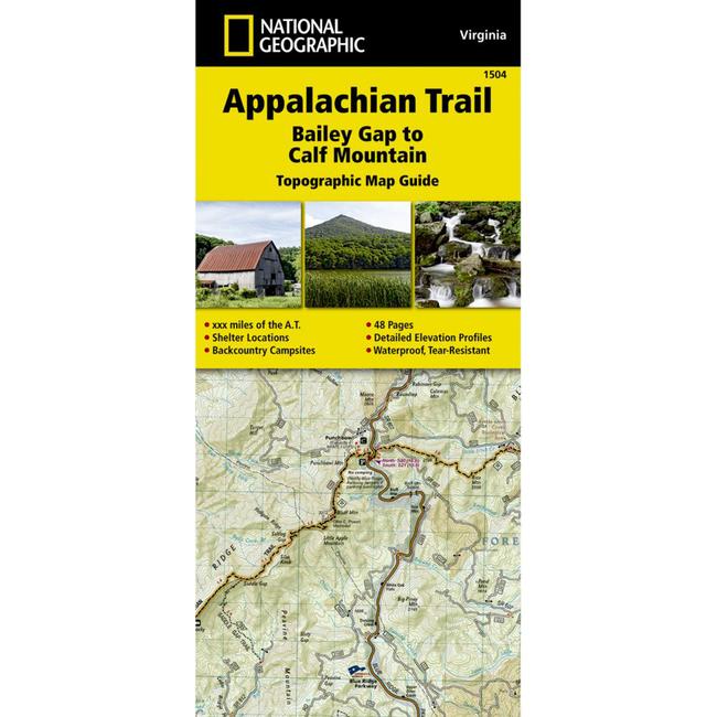
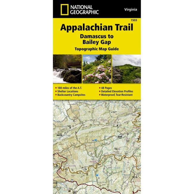
The Damascus to Bailey Gap Topographic Map Guide makes a perfect traveling companion when traversing the southwest Virginia section of the Appalachian Trail A.T.. The A.T. in southwest Virginia travels through a culturally and historically rich area that includes fertile farmland, long, wooded ridges, and the highest mountains in the state. While the Mt. Rogers high country, just east of Damascus, is very popular with visitors, hikers can find excellent opportunities for solitude farther north on their way to the New River and Bailey Gap. Each A.T. Topographic Map Guide includes detailed topographic maps at a detail of 1 inch 1 mile. Each page is centered on the A.T. and overlaps with the adjacent pages so there is little chance of getting lost. Along the bottom of each page is a trail profile that shows the distance between shelters, camping areas, and trail access points. The map and trail profile provide a step by step visual guide to hiking the trail, mile by rugged mile. The Topographic Map Guide is built for all levels of hiking enthusiasts, from the day tripper to the multi month through hiker. The front pages of the printed Topographic Map Guide include resupply information, town inset maps, camping options, and much more. Every Topographic Map Guide is printed on backcountry tough waterproof, tear resistant paper. A full UTM grid is printed on the map to aid with GPS navigation.
|


 Blog Feed
 Follow on Twitter
 Become a Facebook Fan
 Flickr
 MySpace