|
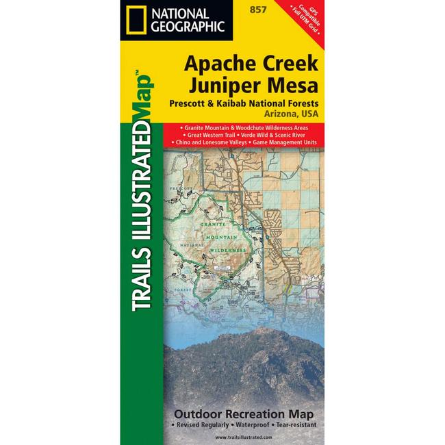
Apache Creek/Juniper Mesa Prescott & Kaibab National ForestsEvery National Geographic Trails Illustrated map is an essential tool for safely navigating the backcountry with GPS or compass as they are clearly marked with both LatitudeLongitude and UTM coordinate grids, compass rose with magnetic declination, scale bar, and full legend. Some of the places shown on the east side of the Apache Creek Juniper Mesa map include: Prescott National Forest, Verde River, Woodchute Wilderness, Great Western Trail, Mingus Mountain, Alto Pit OHV Area, Granite Mountain Wilderness, Upper Verde River State Wildlife Area, and more. The west side of the map features: Prescott National Forest, Apache Creek Wilderness, Juniper Mesa Wilderness, and extensive OHV trails near Denny, Stinson, and Cottonwood mountains.
|
| Merchant | Price | Regular Price | |
|---|---|---|---|
| Summit Hut | $11.95 | $11.95 |
Copy the following string into an e-mail to support@ultrarob.com to request support.
Mozilla/5.0 AppleWebKit/537.36 (KHTML, like Gecko; compatible; ClaudeBot/1.0; +claudebot@anthropic.com)
 Blog Feed
 Follow on Twitter
 Become a Facebook Fan
 Flickr
 MySpace