|
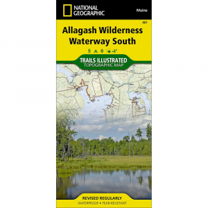
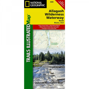
National Geographic's recreational maps of the Allagash Wilderness Waterway TI 400 and 401 are two sided, waterproof maps designed to meet the needs of outdoor enthusiasts and tourists alike. Divided into two separate maps for exceptional detail, each is loaded with valuable information such as watercraft regulations, rules for recreational use and access, river difficulty scale, checkpoints, visitor and ranger station locations, and more. A UTM and latitudelongitude grid, as well as compass rose and scale bar will keep you pointed in the right direction.Year round activities abound in the region and the location of scenic viewpoints, wildlife viewing, boat launches and canoe carry downs, lookout towers, amphitheaters, ATV trails, and other points of interest are clearly marked as are park and forest boundaries and access points. Campers will appreciate the attention paid to noting the variety of camping facilities available including primitive campsites, group campsites, rental cabins, RV camping, picnic shelters, restrooms, parking, and trailheads. Whether paddling the Northern Forest Canoe Trail, camping in the North Maine Woods, or driving the Maine Scenic Byway, these maps perform as highly functional travel tools that are as useful as they are remarkably crafted.The front side of the Allagash Wilderness Waterway South map details from the southern portion of Eagle Lake to the northwestern edge of Baxter State Park and the northern reaches of Chesuncook Lake. It includes Allagash Lake, Chamberlain Lake, Caucomgomoc Lake, and dozens of other lakes, ponds, brooks, and streams. Chesuncook Lake continues on the back side of the map with the southernmost section of the waterway which includes Caribou Lake, Ragged Lake, Lobster Lake, Seboomook Lake, and Moosehead Lake.
|


 Blog Feed
 Follow on Twitter
 Become a Facebook Fan
 Flickr
 MySpace