|
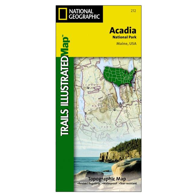
This National Geographic Trails Illustrated topographic map is the most comprehensive recreational map for Acadia National Park, located along the beautiful Atlantic coast in Maine. Updated to reflect road closings, new trails, and campground relocation it also includes detailed trail information, points of interest, trailheads, picnic areas, facilities, and more.Features Mount Desert Island, Sestern Mountain, Norwood Ridge, Freeman Ridge, Isle au Haut, Marshall Island, Swans Island, Western Bay, Mount Desert Narrows, Frenchman Bay, Eastern Way, Eastern Passage, Long Pond, Seal Cove Pond, Echo Lake, Somes Sound, Upper and Lower Hadlock Pond, Jordan Pond, and Eagle Lake.
|


 Blog Feed
 Follow on Twitter
 Become a Facebook Fan
 Flickr
 MySpace