|
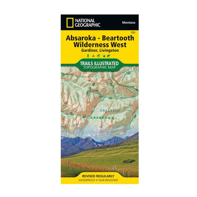
National Geographic's Trails Illustrated map of the western portion of Montana and Wyoming's shared Absaroka Beartooth Wilderness, including Custer Gallatin National Forests, is a two sided, waterproof map designed to meet the needs of outdoor enthusiasts with unmatched durability and detail. This map was created in conjunction with local land management agencies and is loaded with valuable recreation information. Trails Illustrated maps are expertly researched and frequently updated. The maps are printed in the United States on durable synthetic paper, making them waterproof, tear resistant, and trail toughcapable of going anywhere you do. The front side of the map focuses on the northern portion of the wilderness, beginning at the peaks east of the Paradise Valley between Livingtson and Emigrant, and over to Custer National Forest. It includes the Yellowstone River and Yellowstone Ranger District Boundaries. Flip over to the backside for the southern portion of the wilderness, from Dome Mountain Wilderness Management Area to the Blacktail Deer Plateau across the Wyoming state line.
|


 Blog Feed
 Follow on Twitter
 Become a Facebook Fan
 Flickr
 MySpace