|
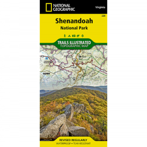
ATC Shenandoah National Park Map, South DistrictThis water and tear resistant map covers 44.8 miles of the AT through the south district of Shenandoah National Park, plus all side trails in this district of the park. Side 1: Topographical map with elevation profiles scale: 1:63,360. Side 2: Detailed enlargements of the Loft Mountain, Blackrock, and Rockfish Gap areas. Dimensions: 7 14 x 4 18 inches folded 21 12 x 32 inches fully opened. 14th edition, revised 2001 Map 11 Sections 6 9 of the Appalachian Trail.
|
| Merchant | Price | Regular Price | |
|---|---|---|---|
| Eastern Mountain Sports | $10.00 | $10.00 |
Copy the following string into an e-mail to support@ultrarob.com to request support.
Mozilla/5.0 AppleWebKit/537.36 (KHTML, like Gecko; compatible; ClaudeBot/1.0; +claudebot@anthropic.com)
Email: web@ultrarob.com
 Blog Feed
 Follow on Twitter
 Become a Facebook Fan
 Flickr
 MySpace